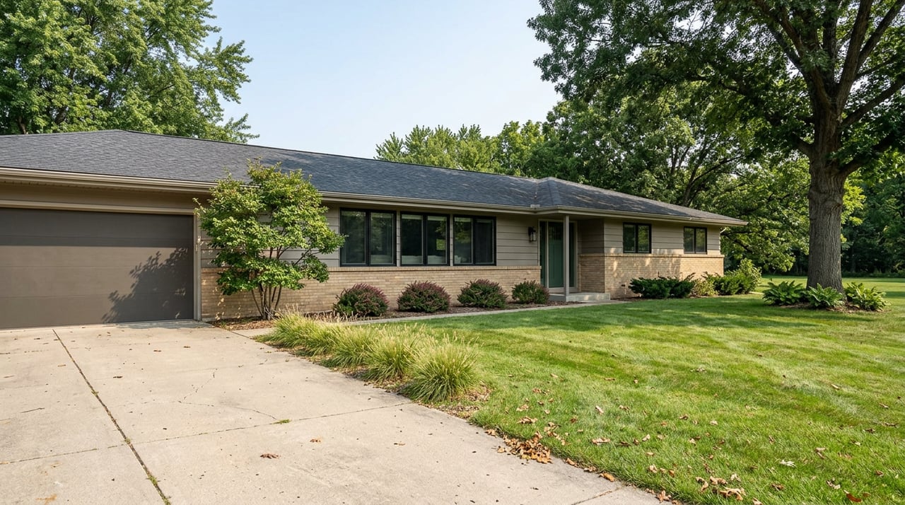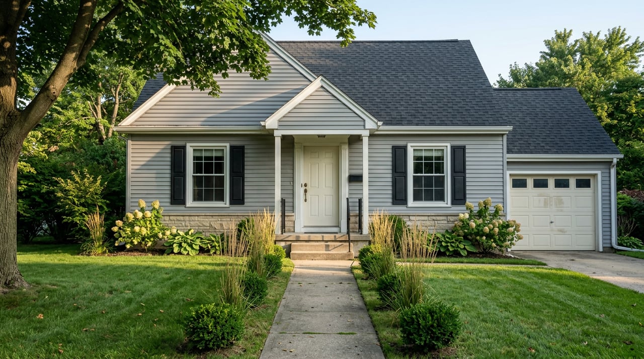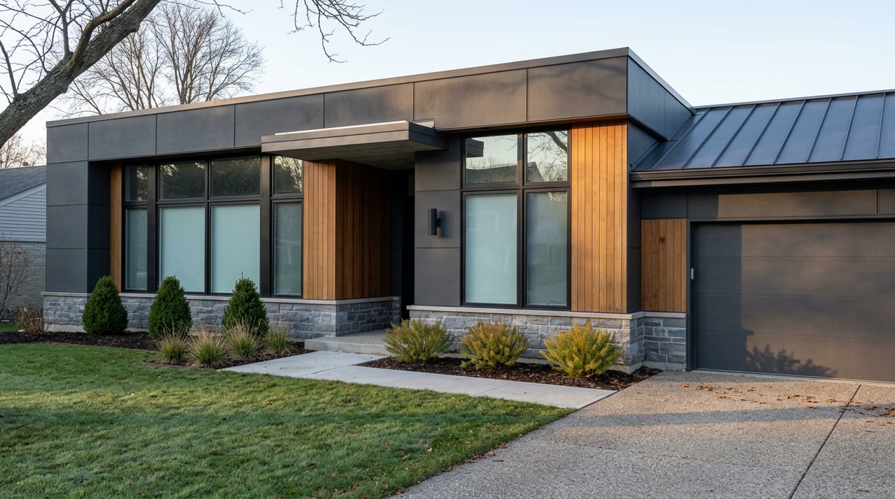
Say two homes in Menomonee Falls carry the identical assessed value this year. Same size, same age, same condition, same street type. One of them will pay more in property taxes than the other, every year, for as long as either owner stays put. The difference has nothing to do with the house. It has to do with which school district happens to claim the parcel, and that boundary runs through the village in a way no listing sheet or portal filter will show you.
Menomonee Falls is served by two separate K-12 school districts: the School District of Menomonee Falls and the Hamilton School District. Hamilton's territory extends well beyond the village, covering Butler, most of Lannon and Sussex, and parts of Lisbon and Pewaukee, but a real slice of Menomonee Falls itself falls inside its lines too. The rest sits in the district that shares the village's name. Both districts are listed side by side on the Village's own government website as serving different parts of the same municipality, which is the plainest confirmation that this isn't a rumor or a builder's marketing line. It's how the map is actually drawn.
That split matters because it doesn't touch every part of a tax bill equally. Some line items are the same no matter which side of the boundary a house sits on. One line item is not, and it happens to be the biggest one.
The Four Lines on Every Bill
Every property tax bill in the village breaks into four taxing jurisdictions: the county, the village itself, Waukesha County Technical College, and the local school district. The Village publishes its own full mill tax rate table each year, broken out by school district, so you can see exactly how these pieces stack up.
| Taxing jurisdiction | Same across both districts? | Approximate share of the bill |
|---|---|---|
| County | Yes | 11% |
| Village | Yes | 31% |
| WCTC | Yes | 2% |
| School | No | 56% |
The county rate for 2026 is $1.46 per $1,000 of assessed value, and the village rate is $4.05 per $1,000. Both figures are printed identically in the Village's rate table whether the parcel falls under the School District of Menomonee Falls or the Hamilton School District. WCTC works the same way. Three of the four jurisdictions don't care which district you're in.
The One Line That Does
The school portion is where the two columns in that rate table stop matching. Each district adopts its own budget and its own levy independently, at its own annual meeting, so the gross rate isn't shared the way the county and village rates are. And because school makes up roughly 56 percent of a typical Menomonee Falls tax bill, that's not a rounding difference. It's the majority of what you actually pay.
The state credits applied against that school portion tell the same story in cleaner numbers. For 2026, the first dollar credit, a flat reduction applied to every parcel, is $57.15 under the School District of Menomonee Falls and $60.14 under Hamilton. The lottery and gaming credit runs $171.44 under the Menomonee Falls district and $180.41 under Hamilton. Those aren't market fluctuations. They're two separate state calculations, tied to two separate levies, that happen to apply inside the same village limits.
Where the Boundary Actually Runs
This is the part a buyer can't get from a price sheet. Several of the newer subdivisions on the west side of the village, including Fox River Falls near Silver Spring Drive and Lannon Road, Bella Vista, QuietWood off One Mile Road, and Sanctuary at Good Hope, sit inside Hamilton School District. Older neighborhoods closer to the historic core are more likely to feed into Shady Lane Elementary, Valley View Elementary, North Middle School, and Menomonee Falls High School, the schools that make up the district sharing the village's name.
None of that is a statement about which district is better. It's a statement about geography, and geography here doesn't follow the village limit sign. Hamilton's own district office puts it plainly on their boundary map: if a residence falls anywhere near a border, the assigned school should be confirmed directly with the district office rather than assumed from a subdivision name or a nearby address. That instruction exists because these lines can run through a neighborhood in ways that surprise even people who've lived nearby for years, and because attendance boundaries are occasionally redrawn as enrollment shifts.
A Practical Way to Check Before You Write an Offer
- Pull the exact parcel address, not just the subdivision or street name.
- Check that address against the current school district boundary map, published separately by each district, rather than relying on marketing copy for a specific development.
- If the address sits anywhere near a boundary, call the district office directly to confirm the assignment before you factor it into your offer.
- Ask your agent to pull the actual mill rate applicable to that parcel's district for the current tax year, not a village-wide average.
- Compare that number against the seller's most recent tax bill, since assessed value and district assignment together determine what you'll actually owe.
Why This Matters More Than the List Price Suggests
A list price gets you to the front door. It doesn't tell you which of two separate school levies is going to apply to that specific parcel, and since that levy accounts for more than half of a typical Menomonee Falls tax bill, it's the single biggest variable a buyer can miss by assuming two similarly priced homes cost the same to own. The county and village portions will be identical no matter which one you choose. The school portion won't be, and there's no listing field that flags it for you.
This is the kind of detail that only shows up when someone actually pulls the Village's tax rate document and lines it up against a district boundary map, which is exactly the kind of homework worth doing before an offer goes in rather than after a first tax bill arrives.
Quick Answers Before You Call the District Office
Does being in Hamilton School District automatically mean a higher tax bill? Not automatically. The gross school rate and the credits applied against it move independently each year based on each district's own adopted budget. A buyer needs the current year's numbers for the specific parcel, not an assumption based on which district sounds more familiar.
Can the boundary shift after I buy? Boundaries are set by each district and can be redrawn over time as enrollment and capacity change. That's part of why confirming the current assignment directly with the district, rather than relying on a subdivision's marketing history, is worth the phone call before you're under contract.
If you're comparing two Menomonee Falls addresses and want the actual parcel-level numbers instead of a village-wide average, Craig Kasten can pull the current district assignment and mill rate for any specific property you're considering. Reach out for a free home valuation and consultation before you write your next offer.